
Children's, Activity & Reference, Children's Reference, Children's Science & Geography, Children's Nature
Mapping Britain's Landscape: Rivers
Paperback Published on: 27/09/2012
Price: £8.99
Synopsis
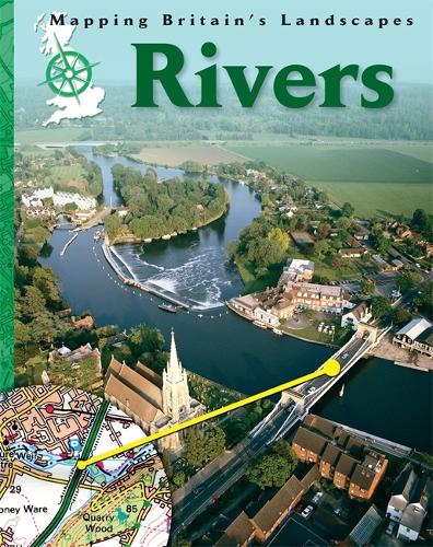
In Mapping Britain's Landscape: Rivers, discover Britain's rivers through stunning photographs and maps. Find out how maps reveal meanders, bridges, estuaries and more and develop your map-using skills at the same time.
In the four-book series Mapping Britain's Landscape, you will learn about Britain and its great variety of landscapes - from dramatic mountain ranges and varied coastlines to winding rivers and the places where we live.
Perfect for key stage 2 geography curriculum and readers aged 9 and up.
Publisher information
- Publisher: Hachette Children's Group
- ISBN: 9781445109350
- Number of pages: 32
- Dimensions: 266 x 196 x 3 mm
- Weight: 144g