

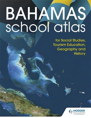
Hodder Education School Atlas for the Commonwealth of The Bahamas
Synopsis
Ensure full coverage of the curriculum requirements with an atlas specially created to cover Social Studies, Tourism Education, Geography and History.
- Encourage awareness of the region with a specially designed 18-page section of detailed maps of The Bahamas supplemented by up-to-date diagrams, graphs and photographs. Climate, environment, tourism, history, major cities, agriculture, transportation networks and the Family Islands all covered.
- Engage students in topical issues with a 14-page Caribbean section that shows The Bahamas in the context of the CARICOM community, focusing on topics that impact all CARICOM citizens including hurricanes, earthquakes, volcanoes, climate, environment and tourism
- Introduce a solid foundation in geographical knowledge with detailed maps and facts about all the major countries of the Caribbean.
- Secure strong geographical knowledge with comprehensive maps of each of the world's continents plus a World Data section with facts, figures and flags of every country and features on the Solar System, the Seasons and World Organisations.
- Ensure ease-of-use with a four-page easy-to-use index with guidance on how to locate places and an introduction to geographical skills showing how to use a map, the importance of scale and how to measure distances.
Publisher information
- Publisher: Hachette Learning
- ISBN: 9781510471078
- Number of pages: 80
- Dimensions: 298 x 224 x 14 mm
- Weight: 280g
- Languages: English
Customer Reviews
You may also like...