

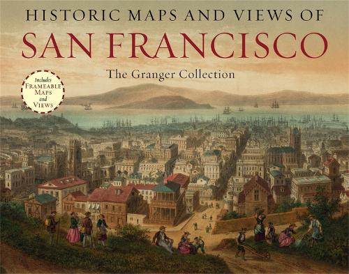
Historic Maps And Views Of San Francisco: 24 Frameable Maps and Views
Synopsis
Historic Maps and Views of San Francisco?contains twenty-four historic maps and views of San Francisco and its environs?dating from the 1800s through the present?ready for framing in a custom format or in a standard 11? x 14? frame. These stunning and fascinating images from The Granger Collection showcase San Francisco when it was still known as Yerba Buena, maps and ariel views of the expansion after the Gold Rush, a turn-of-the century photo of Chinatown at midnight, the Tower of Jewels at the Panama-Pacific Exposition in 1915, and the construction of the Golden Gate Bridge. Each image's original printing information is provided, as well as additional information that places it in historic context and further illuminates its qualities. Each image is exquisitely reproduced to show off its color and detail.The perfect gift for lovers of travel, history, or art.Other titles in this series include:Historic Maps and Views of BostonHistoric Maps and Views of ChicagoHistoric Maps and Views of the Old SouthHistoric Maps and Views of New YorkHistoric Maps and Views of LondonHistoric Maps and Views of RomeHistoric Maps and View of Paris
Publisher information
- Publisher: Black Dog & Leventhal Publishers Inc
- ISBN: 9781579129187
- Number of pages: 56
- Dimensions: 234 x 152 x 28 mm
- Weight: 440g
Customer Reviews
You may also like...