
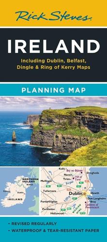
Rick Steves Ireland Planning Map: Including Dublin, Belfast, Dingle & Ring of Kerry Maps
Map Published on: 11/04/2024
Price: £7.99
Synopsis
Designed for Rick Steves fans, this map highlights Ireland's best destinations in a colourful, easy-to-use format on high-quality paper:
- Cuts the Clutter: While big cities are included for navigational purposes, this map focuses on Rick's favourite spots for travellers
- Guidebook-Friendly: At a glance, all the places you read about in Rick Steves Ireland stand out in a crisp, easy-to-read format
- Durable Construction: This map is printed on tearproof paper to last over many trips
- Road or Sea: Includes highways, ferry routes, bus stops, and train lines for easy route-planning
- The Back's Even Better: The reverse side includes detailed city-centre maps of Dublin and Belfast locating sights, hotels, and restaurants
Publisher information
- Publisher: Avalon Travel Publishing
- ISBN: 9781641715980
- Number of pages: 2
- Dimensions: 238 x 106 x 26 mm
- Weight: 30g
- Languages: English