
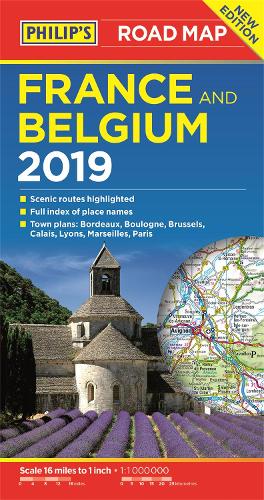
Philip's France and Belgium Road Map: with scenic routes, tourist information and city plans
Synopsis
'THE CLEAREST AND MOST DETAILED MAPS OF EUROPE' David Williams MBE, CEO Gem Motoring Assist
The map for navigating in France and Belgium:
- Main scale super-clear 1:1,00,000 (16 miles to 1 inch)
- Fully updated
- Scenic routes highlighted
- Maps on both sides - more for your money
- City plans: Bordeaux, Boulogne, Brussels, Calais, Lyons, Marseilles and Paris
- The important information for motoring: motorways (toll, pre-pay and free), mountain passes, railways, road numbers (European and local), distances between towns,
- Fully indexof place names
- Major city location maps
- All the places of interest for your trip: from castles, historic houses, beaches and national parks to theme parks, places of worship and ancient monuments
- includes Corsica
In fact, everything you need for your trip to France and Belgium
Publisher information
- Publisher: Octopus Publishing Group
- ISBN: 9781849074377
- Number of pages: 2
- Dimensions: 132 x 252 x 11 mm
- Weight: 104g
- Languages: English