


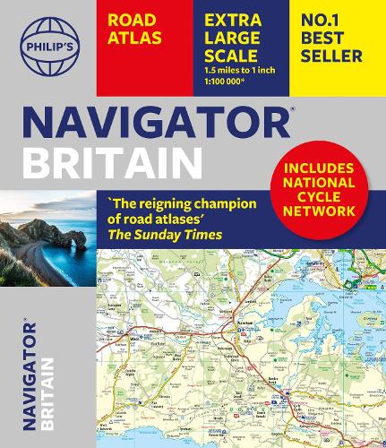
Philip's Navigator Britain: the Champion of Road Atlases: Special Lie-flat Edition
Synopsis
Philip's Navigator are Britain's bestselling detailed road atlases - exceptional for their scale and clarity.
'A map that beats all others.' - The Daily Telegraph
'Scale, accuracy and clarity are without parallel.' - Driving Magazine
'No.1 in the UK for clear maps.' - Independent research survey
- Scale: 1.5 miles to 1 inch = 1:100,000 (Northern Scotland: 3 miles to 1 inch = 1:200,000)
- Super-detailed 6-page route-planning section.
- Every street in Britain is marked on the maps.
- Shows the whole of the National Cycle Network with over 10,000 miles of routes covered.
- Over 3000 roads clearly named.
- Featuring major National Trails such as: Hadrian Wall's Path, Offa's Dyke Path, Pennine Way, South Downs Way, Thames Path, The Ridgeway, West Highland Way and Southern Upland Way.
- Approaches maps to 12 major urban areas.
- Exceptional road detail, from motorways to country lanes, with every junction, roundabout and slip-road shown.
- Thousands of individually named farms, houses and hamlets.
- The No.1 Choice of Road Atlas for the serious motorist.
Available in an easy-to-manage special lie-flat paperback binding, Philip's Navigator Britain is widely used by professional drivers and the emergency services, including national police training, and is recommended in the motoring press and national newspapers. No other road atlas of Britain offers this level of detail and clarity.
Publisher information
- Publisher: Octopus Publishing Group
- ISBN: 9781849077316
- Number of pages: 384
- Dimensions: 325 x 280 mm
- Languages: English