


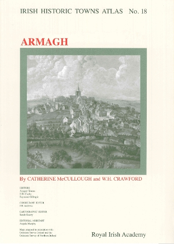
Armagh: Irish Historic Towns Atlas, no. 18
Catherine McCullough (author), Dr W.H. Crawford (author), Professor Howard Clarke (series editor), Professor H.B. Clarke (series editor), Dr Jacinta Prunty (series editor), J.H. Andrews (consultant editor)
Map Published on: 31/10/2007
Price: £28.00
Synopsis
Number 18 of the Irish Historic Towns Atlas series, Armagh contains a topographical section that lists historical and archaeological details of over 1,200 sites, and an essay tracing the development of the city from its earliest origins to 1900. It includes: the earliest map of Armagh from 1602; maps showing Armagh in 1760 and 1766; a large colour reconstruction of the city in c. 1834; a growth map of Armagh to 1900; and a number of smaller black and white maps, which illustrate the text section. It features late nineteenth-century photographs of Armagh. The maps and text are large format and bound in a fascicle.
Publisher information
- Publisher: Royal Irish Academy
- ISBN: 9781904890188
- Number of pages: 27
- Dimensions: 410 x 305 x 7 mm
- Weight: 558g
- Languages: English
Customer Reviews
You may also like...

Canterbury
Price: £8.00

River Town
Price: £13.99
Yorkshire's Strangest Tales
Price: £9.99

Claxton
Price: £12.99

Kent Folk Tales
Price: £12.99

The Little Book of Birmingham
Price: £14.99

Oxfordshire Folk Tales
Price: £12.99
The Town Below the Ground
Price: £10.99
Lern Yerself Scouse
Price: £2.99

Lancashire Folk Tales
Price: £12.99

Wiltshire Folk Tales
Price: £12.99
Scotland
Price: £18.99
An Old Woman's Reflections
Price: £8.99
The Night Climbers of Cambridge
Price: £11.99
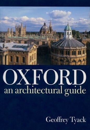
Oxford
Price: £21.99