
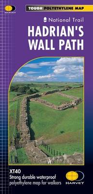
Hadrian's Wall Path
Map Published on: 30/08/2019
Price: £16.50
Synopsis
Entire route on one map
Hadrian's Wall Path is a National Trail and runs 130km (81 miles) from the Solway Coast to Newcastle.
The sites of Roman remains are marked on the map, with an enlargement of Housesteads.
Tough, light, durable and 100% waterproof
Includes Rights of Way
Route clearly marked
Publisher information
- Publisher: Harvey Map Services Ltd
- ISBN: 9781851374380
- Number of pages: 1
- Dimensions: 245 x 115 mm
- Weight: 30g
- Languages: English
Customer Reviews
You may also like...

Skye Trail
Price: £16.50
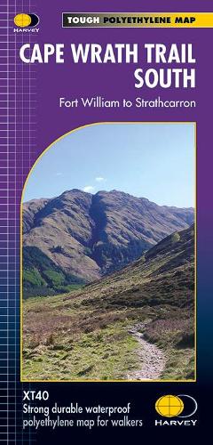
Cape Wrath Trail South
Price: £17.95

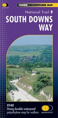
South Downs Way
Price: £16.50
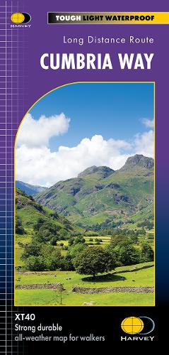
Cumbria Way
Price: £16.50

The Penguin Map of the World
Price: £8.99

Oxford Aerial Map and Guide
Price: £5.99
The Munros Map
Price: £5.75
Great Glen Way
Price: £16.50
Manchester City Centre 1849
Price: £3.50
Scotland Map
Price: £14.95
Strangford Lough
Price: £10.99

Montenegro Road Map 1:150 000
Price: £12.90

Discover Cairngorms National Park
Price: £9.95
Korfu, Automap 1:50.000
Price: £12.90