
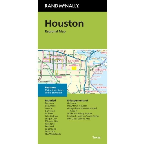
Houston Regional Map: Rand McNally Folded Map
Map Published on: 22/05/2026
Price: £10.99
Synopsis
Rand McNally's folded map for Houston is a must-have for anyone traveling in and around this part of Texas, offering unbeatable accuracy and reliability at a great price. Our trusted cartography shows all Interstate, U.S., state, and county highways, along with clearly indicated parks, points of interest, airports, county boundaries, and streets. The easy-to-use legend and detailed index make for quick and easy location of destinations. You'll see why Rand McNally folded maps have been the trusted standard for years.
Publisher information
- Publisher: Rand McNally & Co ,U.S.
- ISBN: 9780528028540
- Dimensions: 230 x 105 mm
Customer Reviews
You may also like...

Skye Trail
Price: £16.50
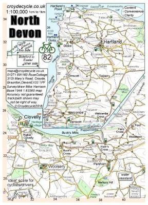
North Devon 1:100,000
Price: £4.00


Pocket Atlas of Remote Islands
Price: £22.00
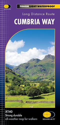
Cumbria Way
Price: £16.50

The Penguin Map of the World
Price: £8.99


Oxford Aerial Map and Guide
Price: £5.99

The Munros Map
Price: £5.75
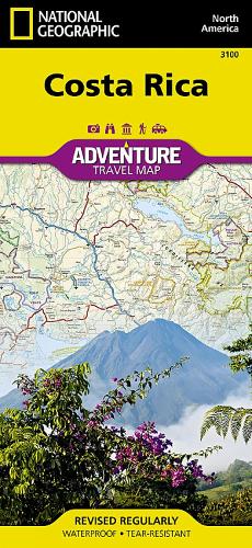
Costa Rica Map
Price: £14.95
Xploreit Map of County Cork, Ireland
Price: £18.99


Strangford Lough
Price: £10.99

Discover Cairngorms National Park
Price: £9.95
West Highland Way
Price: £16.50