
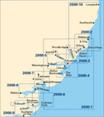
Imray Chart 2000.7: River Colne
Map Published on: 01/09/2011
Price: £9.95
Synopsis
Plans included: Wivenhoe Brightlingsea This chart can also be purchased as part of the 2000 Chart Pack (10 Charts in total) for GBP37.50 please click here for details 2011 EDITION - Shows revised buoyage in Mersea Quarters and the approaches to Tollesbury, plus detail of Waterside Marina at Brightlingsea. The latest available survey data is used throughout, particularly in the Tollesbury channel and at Bradwell.
Publisher information
- Publisher: Imray,Laurie,Norie & Wilson Ltd
- ISBN: 9781846234224
- Dimensions: 295 x 210 x 3 mm