
Imray Chart A231: Virgin Islands; St Thomas to Virgin Gorda
Map Published on: 02/09/2013
Price: £16.00
Synopsis
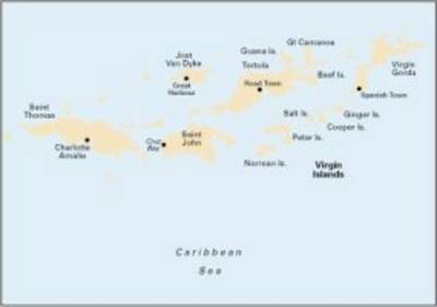
Plans included: Charlotte Amalie (St Thomas) (1:30,000) Cruz Bay (St John) (1:20,000) Road Harbour, Sea Cow Bay & Nanny Cay Marina (Tortola) (1:20,000) Benner Bay (St Thomas) (1:20,000) Great Camanoe to Scrub Island (1:20,000) On this 2013 edition, a new plan of Benner Bay (St Thomas) replaces the plan of Virgin Gorda Yacht Harbour (which remains on chart A232). Harbour developments are shown at Road Harbour, and the latest known depths have been applied throughout.
Publisher information
- Publisher: Imray, Laurie, Norie & Wilson Ltd
- ISBN: 9781846235870
- Dimensions: 295 x 210 x 3 mm