
Imray Chart A24: Anguilla, St Martin and St Barthelemy
Map Published on: 01/12/2013
Price: £16.00
Synopsis
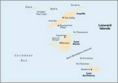
Plans included: Prickly Pear Cays (1:30,000) Shoal Bay & Island Harbour (Anguilla) (1:50,000) Crocus Bay (Anguilla) (1:15,000) Road Bay (Anguilla) (1:12,000) Simpson Bay Lagoon and Baie de Marigot (Saint Martin) (1:30,000) Great Bay (Sint Maartin) (1:15,000) Oyster Pond (Sint Maartin) (1:10,000) Port de Gustavia (Saint Barthelemy) (1:15,000) Anse de Marigot (Saint Barthelemy) (1:30,000) On this 2013 edition, details of the new cross-lagoon causeway bridge at Simpson Bay are shown, as well as associated depth and dredged channel changes. Harbour developments and the latest depths are also shown at Great Bay (Groot Baai) and Port de Gustavia. The remainder of the chart has been fully updated throughout.
Publisher information
- Publisher: Imray, Laurie, Norie & Wilson Ltd
- ISBN: 9781846235900
- Number of pages: 1
- Dimensions: 295 x 210 x 3 mm