
Imray Chart C33A: Channel Islands (North)
Map Published on: 02/09/2012
Price: £19.00
Synopsis
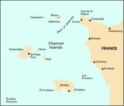
Plans included: *Alderney Harbour *Beaucette Marina *St Sampson Hbr *St Peter Port *Creux Harbour Approaches *Gorey *Omonville *Herm Harbour & Rosiere Anchorage *Dielette *Carteret *Bays of Sark *Little Russel 2012 EDITION - Fully updated, plus the chart has been reschemed. New plans of Herm Harbour & Rosiere Anchorage and Bays of Sark replace Goury and Portbail. The Dielette plan has been redrawn to show approaches at a more suitable scale, plus the Omonville plan has been repositioned for a better WGS 84 fit. Throughout the main chart and inset plans, positional accuracy has been checked and improved where necessary.
Publisher information
- Publisher: Imray, Laurie, Norie & Wilson Ltd
- ISBN: 9781846234972
- Number of pages: 1
- Dimensions: 295 x 210 x 3 mm