

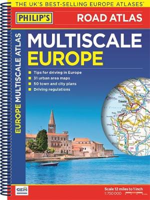
Philip's Multiscale Europe 2016
Synopsis
Philip's Multiscale Europe, in this spiral A4 format, gives more for leisure travellers than any comparable product. In addition to the main maps at 1:750,000, the continental road network is shown at three supplementary scales from 1:250,000 to 1:3M, with ultra-clear detailed maps for urban areas.
Scenic routes are highlighted on the road maps, with theme parks and World Heritage sites clearly shown. The maps also highlight towns with low-emission zones and show motorway rest/parking areas.
Philip's Multiscale Europe, in this spiral A4 format, includes:
Up-to-date driving regulations, including speed limits, for every country in Europe;
23 pages of route-planning maps which enable journeys of over 800 miles to be planned without turning a page;
175 pages of clear, detailed road maps, with scenic routes highlighted and toll, toll-free and pre-pay motorways all clearly marked;
31 large-scale urban-area maps for Europe's largest cities;
50 city-centre plans marking historic buildings and tourist attractions, as well as car parks, head post offices and other facilities.
Publisher information
- Publisher: Octopus Publishing Group
- ISBN: 9781849073776
- Number of pages: 280
- Dimensions: 296 x 226 x 18 mm
- Weight: 756g
Customer Reviews
You may also like...