
The Aran Islands: Including Souvenir Ordnance Survey Map Aran Islands 1838
Synopsis
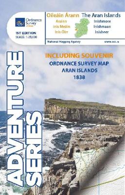
There are small streams and lakes scattered around the islands, the biggest being An Loch Mor, on Inis Oirr. There are a few small beaches on the northern coasts, and on the other side there are high cliffs facing the Atlantic Ocean.
The Adventure Series is an activity oriented map which shows detailed landscape information. It provides detailed mapping in specific locations for the outdoor enthusiast such as mountaineers, hill walkers, cyclists and other users of the Irish countryside. Some of the features included are National Roads, National Secondary Roads, Regional Roads, Waymarked walks, Tracks and Trails, Cycle Routes, Forestry, Land Terrain, Spot Heights, Contours, Named antiquities, Local amenities, National Parks, Lakes, Rivers and Streams. The Series is printed on Water Resistant Paper for greater durability.
Publisher information
- Publisher: Ordnance Survey
- ISBN: 9781908852786