
Synopsis
HARVEY Superwalker Wicklow Mountains map at 1:30,000 scale. Clear, easy to use, waterproof. GPS compatible.
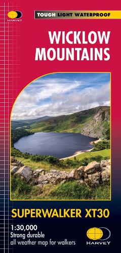
Includes the spectacular Glendalough area and sections of St Kevin's Way, and the Wicklow Way which crosses these mountains. The National Park boundary is shown. Supplied in a clear plastic pocket.
Flat size: 486 x 696mm
Publisher information
- Publisher: Harvey Map Services Ltd
- ISBN: 9781851376131
- Number of pages: 1
- Dimensions: 243 x 116 mm
- Weight: 38g
- Languages: English