


Reviews: Hadrian's Wall Path (1)
“An accurate, easy to use guide.”
(Sheet map, folded)
I’m very familiar with the long-distance path along Hadrian’s Wall and although I would always carry an OS map on any long walk, this Guidemap really does contain enough information to enable easy navigation of all parts of this immensely enjoyable trail. I like the fact that it is divided into day by day sections, giving accurate information about the distance to be travelled, an elevation profile and approximate timings for four different categories of ‘traveller’: walker, trekker, fast-packer and trail-runner … I can attest to the accuracy for walkers but can only assume that the other timings are as reliable! I found the map easy to fold and unfold to expose each day’s route as you travel along it and the fact that it is printed on waterproof paper is a very practical (and welcome!) feature. The guide includes a free to download HWP GPX file from Vertebrate publishing.
In addition to detailed coverage of the route, the guide includes advice on the best months to tackle the trail (winters can be harsh in this wild area!), information about accommodation close to the trail (although this information would need to be checked beforehand as some B&Bs may not have survived lockdowns!), plenty of safety advice, details of tourist information centres which are closest to the trail and a comprehensive ‘recommended kit’ list.
Whether you’re planning to walk the whole trail or just tackle certain sections of it, I can recommend this as an excellent Guidemap.
Page of 1
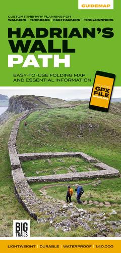
Hadrian's Wall Path: Easy-to-use folding map and essential information, with custom itinerary planning for walkers, trekkers, fastpackers and trail runners
Non-Fiction, Travel, UK Travel Guides, UK Maps & Atlases
Map Published on: 05/11/2020
Price: £14.95