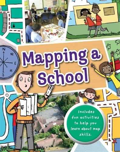
Mapping: A School
Synopsis
Full of hands-on activities to help you learn all about map skills whilst also learning about the features of a school. This book will show you what a bird's eye map is by looking at aerial photos of a school; how symbols make a map clearer; how compass points can help you find your way around a school; how a plan map shows features of a classroom such as shelves, desks, tables and cupboards; how scale is used to measure a school or a school hall; how to use compass points in the playground; how land use maps work by mapping the rooms in the building; how to use grid references to find classrooms in a school; how to use street maps to find your way from home to school or use transport maps to get to school by bus or further afield on a school trip.
Illustrations by Sarah Horne in an amusing and lively style are combined with photographs to really capture a child's attention helping them to learn these important map skills.
Publisher information
- Publisher: Hachette Children's Group
- ISBN: 9780750299107
- Number of pages: 32
- Dimensions: 265 x 202 x 3 mm
- Weight: 152g
Customer Reviews
You may also like...